News
This Standing Rock Map That Shows Where The Pipeline Would Be Puts The Impact In Context
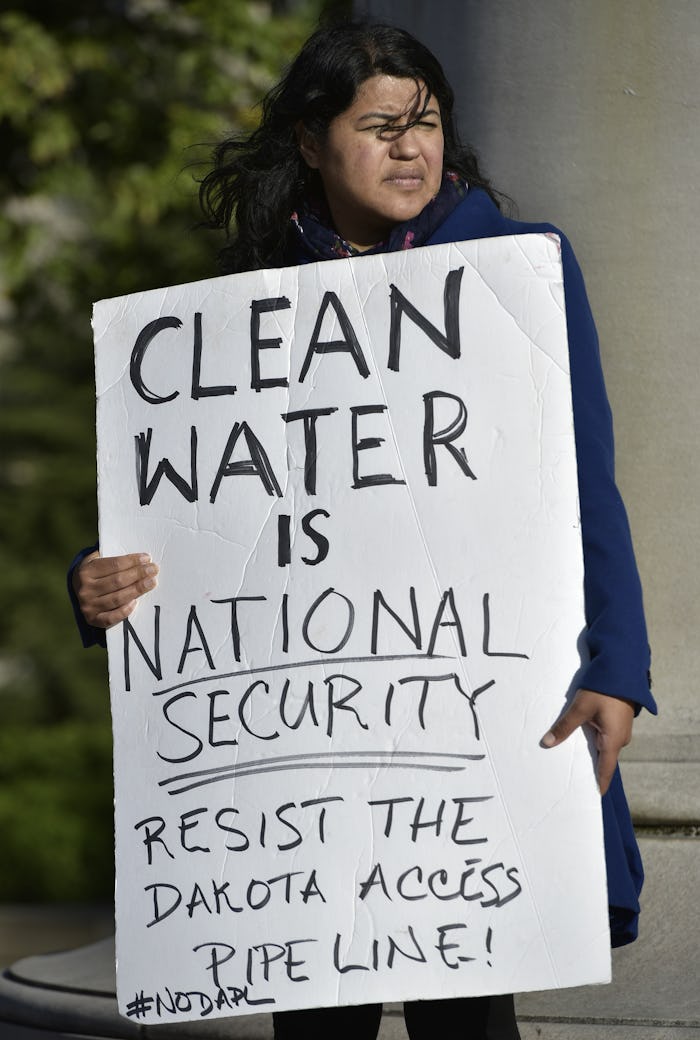
The protests, demonstrations, and stand-offs against the construction of the Dakota Access Pipeline continues to be an urgent fight that needs the world's attention. The Standing Rock Sioux Tribe, other Native Americans, and people standing in solidarity, are protesting — or protecting the land and water, as many Native Americans prefer to refer to it as — the proposed pipeline, which they say could endanger their water supply and sacred sites. And this Standing Rock map that shows where the pipeline would be highlights where the impact would be most significant.
Carl Stack, a cartographer and contributor to the Huffington Post, recently published an article featuring a map he created, illustrating the proposed pipeline's route. The map, which can be viewed here, puts the location of the proposed pipeline in context with the locations of the Standing Rock Sioux Tribe's reservation, majority white communities from neighboring cities, a previously proposed route for the pipeline, and land under a 1851 treaty which is cited to by tribes who oppose the pipeline and argue that they are the landowners.
According to Reuters, Joye Braun of the Indigenous Environmental Network released a statement explaining how the proposed construction of the pipeline contradicts the treaty:
We have never ceded this land. If Dakota Access Pipeline can go through and claim eminent domain on landowners and Native peoples on their own land, then we as sovereign nations can then declare eminent domain on our own aboriginal homeland.
As Sack noted in his blog post, the Dakota Access Pipeline proposed route map, created by Energy Transfer Partners, doesn't provide as much detail or information about the areas impacted by the proposed pipeline.
The pipeline was first proposed by Dakota Access, a subsidiary of Energy Transfer Crude Oil Company. The Energy Transfer map notes the varying counties, and the location of the reservation belonging to the Standing Rock Sioux Tribe, but it doesn't provide context to the demographics of people in the areas impacted by the proposed pipeline, particularly areas said to be under the 1851 treaty.
Despite the many environmental concerns related to the construction of the pipeline, Dakota Access has maintained it is "committed to public safety," according to its website, according to DAPL Pipeline Facts:
Energy Transfer is committed to public safety and the protection of the environment. Energy Transfer and its affiliates are committed to operating our facilities in compliance with all applicable federal, state, and local environmental laws, regulations, and standards...
But many concerned about the water supply, and the environment have noted that the pipeline could lead to possible water contaminations, among other concerns.
The more perspective on the total impact of the proposed pipeline, the better.
